by Paul Bogard
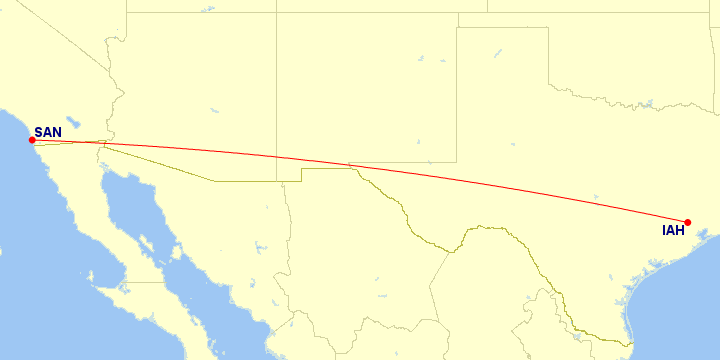
Houston (Bush) ⇔ San Diego
| Paul’s Flights | Airports | Distance between Airports |
|---|---|---|
| 1 | 1 300 mi · 2 092 km |
Airlines Using IAH ⇔ SAN
| # | Airline | Code | Flights | |
|---|---|---|---|---|
| 1 |
|
UA | ||
| 1 airline | ||||
Operators Using IAH ⇔ SAN
In many cases, an airline subcontracts another airline to operate flights for them. However, all of these flights were operated by their advertised airline.
Aircraft Using IAH ⇔ SAN
| # | Aircraft Family | Flights | ||
|---|---|---|---|---|
| 1 | Boeing 737 | |||
| 1 aircraft family | ||||
Classes Flown on IAH ⇔ SAN
| # | Quality | Travel Class | Flights |
|---|---|---|---|
| 1 |  |
Economy Standard main cabin seat |
Trips and Sections Using IAH ⇔ SAN
Trips with a IAH ⇔ SAN Flight
Map generated by Great Circle Mapper
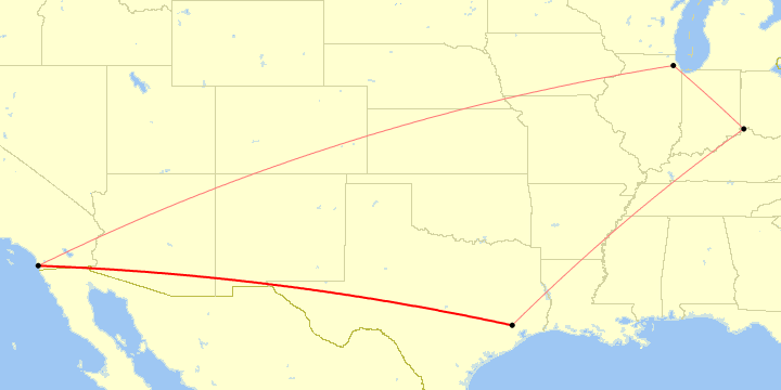
Trip Sections with a IAH ⇔ SAN Flight
Map generated by Great Circle Mapper
Trip and Section Details
| # | Trip | Section | Departure |
|---|---|---|---|
| 1 | San Diego, CA | 1 Nov 2014 | |
| 1 trip, 1 section | |||
IAH ⇔ SAN Flight List
| # | Flight | Route | Departure |
|---|---|---|---|
| 1 | IAH ⇒ SAN | 1 Nov 2014 | |
| 1 flight (0.1% of all flights) | |||