by Paul Bogard
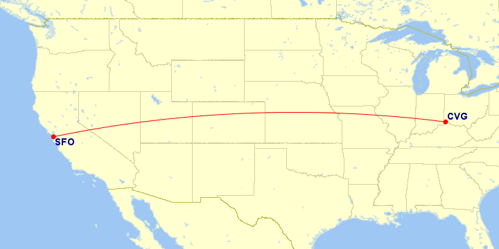
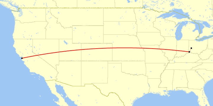
Cincinnati ⇔ San Francisco
| Paul’s Flights | Airports | Distance between Airports |
|---|---|---|
| 4 | 2 031 mi · 3 268 km |
Airlines Using CVG ⇔ SFO
| # | Airline | Code | Flights | |
|---|---|---|---|---|
| 1 |
|
DL | ||
| 1 airline | ||||
Operators Using CVG ⇔ SFO
In many cases, an airline subcontracts another airline to operate flights for them. However, all of these flights were operated by their advertised airline.
Aircraft Using CVG ⇔ SFO
| # | Aircraft Family | Flights | ||
|---|---|---|---|---|
| 1 | Boeing 757 | |||
| 2 | Airbus A320 Family | |||
| ⋮ | Boeing 737 | |||
| 3 aircraft families | ||||
Classes Flown on CVG ⇔ SFO
| # | Quality | Travel Class | Flights |
|---|---|---|---|
| 1 |  |
Economy Standard main cabin seat |
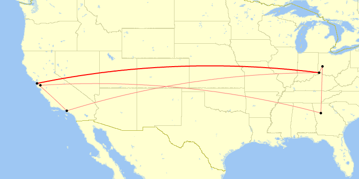
Trips and Sections Using CVG ⇔ SFO
Trips with a CVG ⇔ SFO Flight
Map generated by Great Circle Mapper
Trip Sections with a CVG ⇔ SFO Flight
Map generated by Great Circle Mapper
Trip and Section Details
| # | Trip | Section | Departure |
|---|---|---|---|
| 1 | Stanford Visit | 22 Mar 2001 | |
| 2 | California New Year’s 2003 | 25 Dec 2002 | |
| 3 | Stewart Wedding | 9 Oct 2012 | |
| 3 trips, 4 sections | |||
CVG ⇔ SFO Flight List
| # | Flight | Route | Departure |
|---|---|---|---|
| 1 | CVG ⇒ SFO | 22 Mar 2001 | |
| 2 | CVG ⇒ SFO | 25 Dec 2002 | |
| 3 | SFO ⇒ CVG | 3 Jan 2003 | |
| 4 | SFO ⇒ CVG | 9 Oct 2012 | |
| 4 flights (0.4% of all flights) | |||