by Paul Bogard
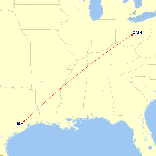
Columbus ⇔ Houston (Bush)
| Paul’s Flights | Airports | Distance between Airports |
|---|---|---|
| 1 | 985 mi · 1 585 km |
Airlines Using CMH ⇔ IAH
| # | Airline | Code | Flights | |
|---|---|---|---|---|
| 1 |
|
UA | ||
| 1 airline | ||||
Operators Using CMH ⇔ IAH
| # | Airline | Code | Flights | |
|---|---|---|---|---|
| 1 |
|
YV | ||
| 1 operator | ||||
Aircraft Using CMH ⇔ IAH
| # | Aircraft Family | Flights | ||
|---|---|---|---|---|
| 1 | Embraer E-Jet | |||
| 1 aircraft family | ||||
Classes Flown on CMH ⇔ IAH
| # | Quality | Travel Class | Flights |
|---|---|---|---|
| 1 |  |
Economy Standard main cabin seat |
Trips and Sections Using CMH ⇔ IAH
Trips with a CMH ⇔ IAH Flight
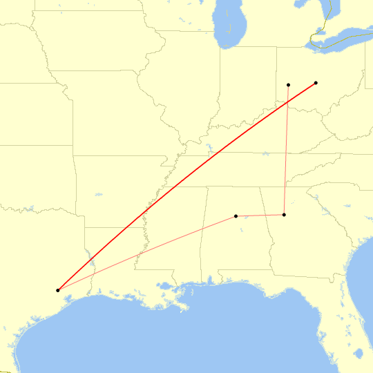
Map generated by Great Circle Mapper
Trip Sections with a CMH ⇔ IAH Flight

Map generated by Great Circle Mapper
Trip and Section Details
| # | Trip | Section | Departure |
|---|---|---|---|
| 1 | Lunar Landing Anniversary | 18 Jul 2019 | |
| 1 trip, 1 section | |||
CMH ⇔ IAH Flight List
| # | Flight | Route | Departure |
|---|---|---|---|
| 1 | CMH ⇒ IAH | 18 Jul 2019 | |
| 1 flight (0.1% of all flights) | |||