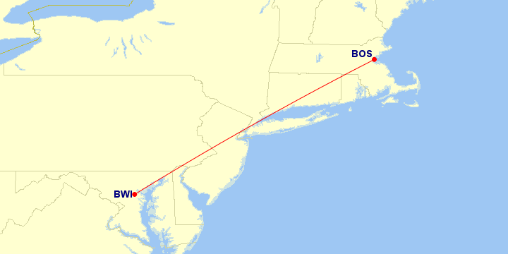
Boston ⇔ Baltimore
Paul’s Flights
Airports
Distance between Airports
1
369 mi · 593 km
369 total miles
·
593 km
Airlines Using BOS ⇔ BWI
Operators Using BOS ⇔ BWI
In many cases, an airline subcontracts another airline to operate flights for them. However, all of these flights were operated by their advertised airline.
Aircraft Using BOS ⇔ BWI
#
Aircraft Family
Flights
1
Boeing 737
1
1 aircraft family
Classes Flown on BOS ⇔ BWI
#
Quality
Travel Class
Flights
1
Economy Standard main cabin seat
1
Trips and Sections Using BOS ⇔ BWI
Trips with a BOS ⇔ BWI Flight
Trip Sections with a BOS ⇔ BWI Flight
Trip and Section Details
#
Trip
Section
Departure
1
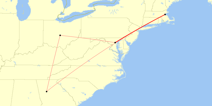
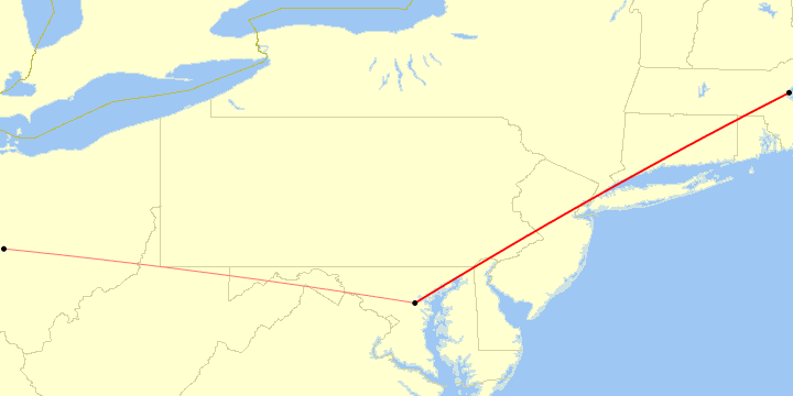
PAX East 2015
9 Mar 2015
1 trip,
1 section
BOS ⇔ BWI Flight List